
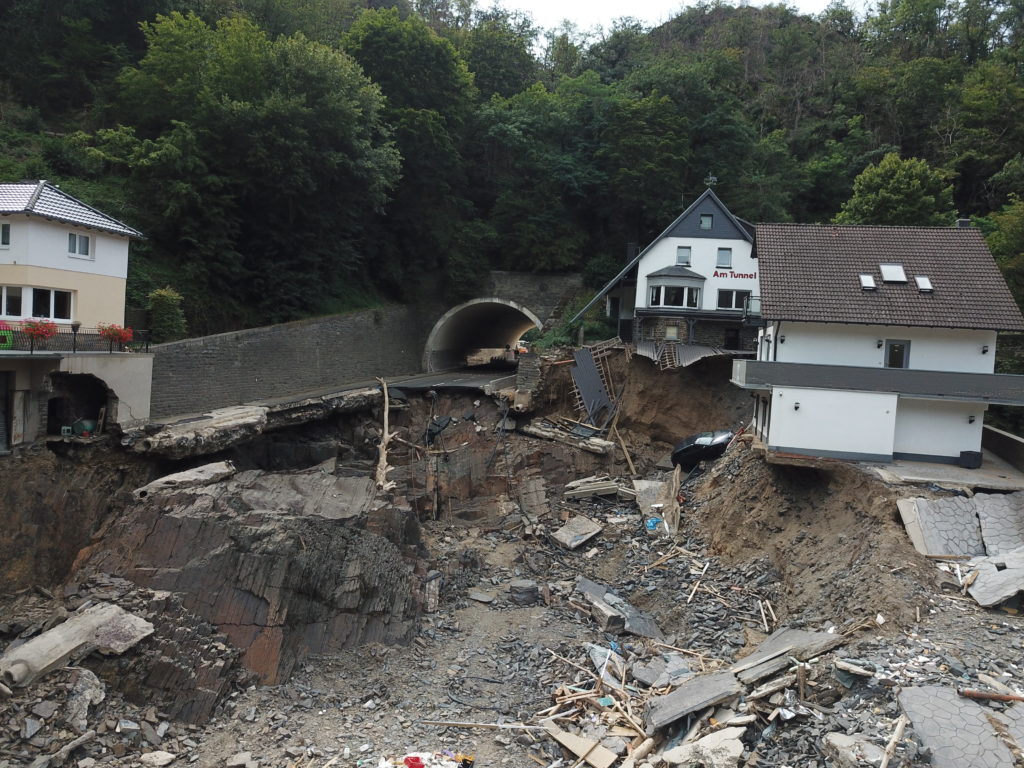
Prof. Nina Stark (Univ. of Florida) and myself served as GEER reconnaissance team leads to the damaged areas in Germany, Belgium and the Netherlands following the disastrous July 2021 flood event. This event is considered the deadliest and most devastating flood since 1804 on European grounds, killing more than 230 people in Germany and Belgium and costing more than 33 billions of dollars in damage. Post-flood access to the impacted areas provided us with the unique opportunity to study geotechnical, geo-environmental, and geomorphological flood impacts through two separate reconnaissance missions., namely from August 9th – August 16th, 2021, and between March 27th – April 1st, 2022. Data collection methods included LiDAR and unmanned aerial vehicle imagery for development of digital elevation and three-dimensional models, sediment sampling, multispectral imaging, soil strength testing (in and out of water), riverbed imaging through side scan sonar, bathymetric mapping using single beam sonar, and mapping of in-water deposits using low-frequency acoustic surveying. This research effort was supported by NSF through Grant CMMI1826118, as well as Grants NSF RAPID CMMI 2213768, 2213715, 2213714,
The following publications are available to date:
(1) GEER Report:
doi:10.18118/G6QH3D
(2) GEER Webinar: https://www.youtube.com/watch?v=8I_dEW6Rbvs